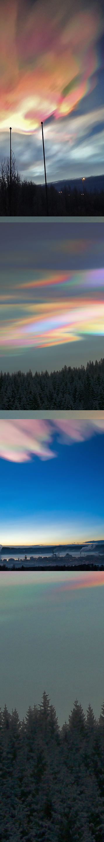
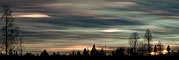
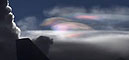
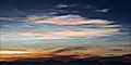
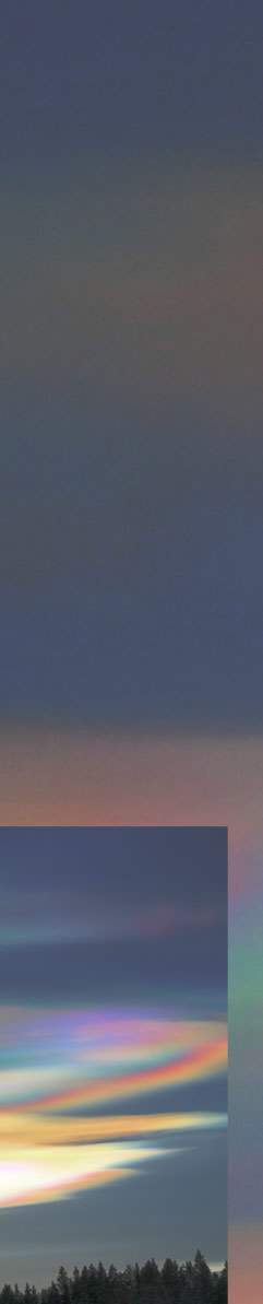
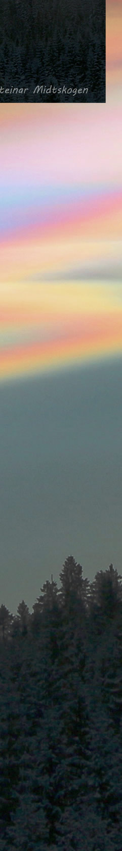
Nacreous Clouds
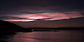
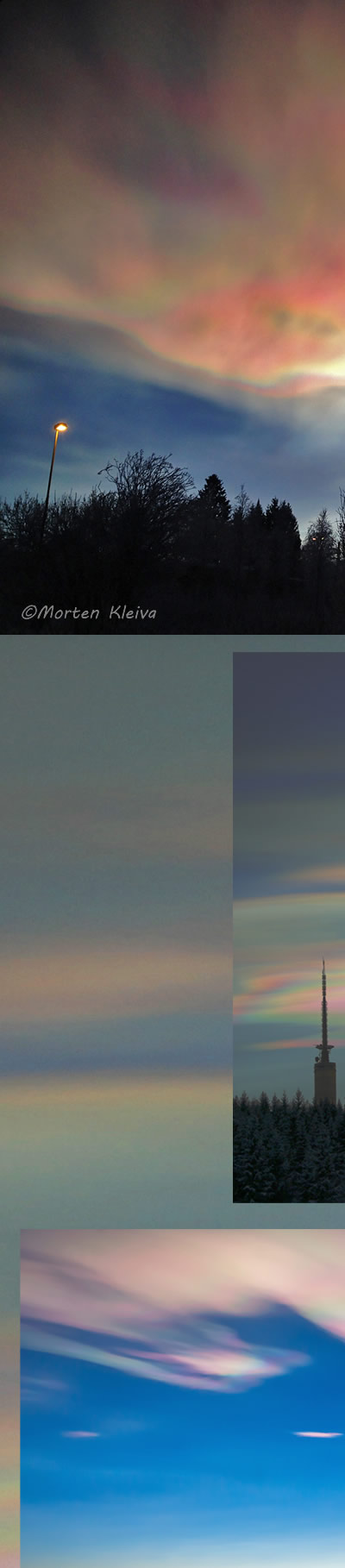
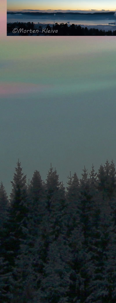
Southern Norway had vivid nacreous clouds on 22nd December 2014.
Here are images by Morten Kleiva and Steinar Midtskogen . There is also a time lapse video by Steinar.
Nacreous clouds are 15 – 25 km high in the stratosphere, far above ordinary tropospheric clouds. To form they need very low stratospheric temperatures of less than minus 85 Celsius and so are only seen in winter at high latitudes like Scandinavia, Iceland and northern Canada. But, exceptionally, they can occur slightly more south and might – very rarely – be seen over England. Look for them after sunset and before sunrise.
They are composed of very small ice crystals and these diffract the high altitude sunlight to form their vivid iridescent colours. The necessary water is lofted up into stratosphere by gravity waves induced by mountains and high tropospheric winds.
|