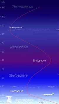
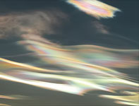
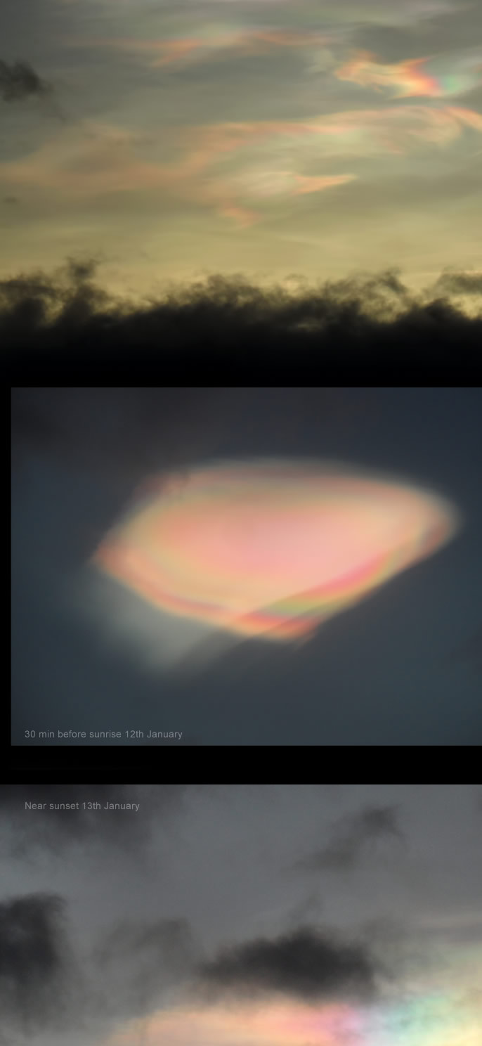
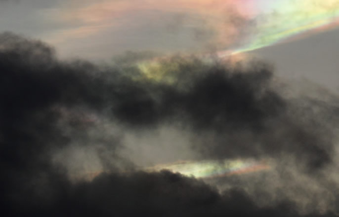
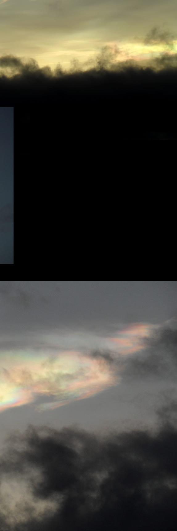
Nacreous clouds are very high, 9-16 miles (15 – 25 km) in the stratosphere. They catch sunlight long before ground level sunrise and after sunset to glow eerily with unbelievably bright electric colours. They twist, stretch and curl majestically as lower dark tropospheric clouds hurry beneath.
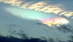
Their tiny ice crystals diffract sunlight to give the iridescent hues. They need an unusually cold stratosphere (less than -85 Celsius) and are therefore rare winter occurrences. They tend to form in very windy weather and downwind of mountains. The resulting tropospheric disturbances possibly loft necessary water vapour into the lower stratosphere. They are a sub-class of polar stratospheric clouds, PSCs. The top image perhaps shows other less iridescent PSC types dotting the sky.
Search before sunrise or after sunset late December to February in the Northern Hemisphere. Norway, Sweden, Iceland and Finland are favoured locations but they are very occasionally seen further south.
How to distinguish them from “ordinary” iridescent clouds? Nacreous clouds glow in the sky up to an hour before sunrise and after sunset. They are slow moving. They are filmy wave clouds that over minutes twist, stretch and change. They are very brightly coloured and lower iridescent clouds are pallid ghosts by comparison. Once seen you will never forget!
|