 |
 |
 |
 |
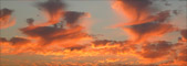
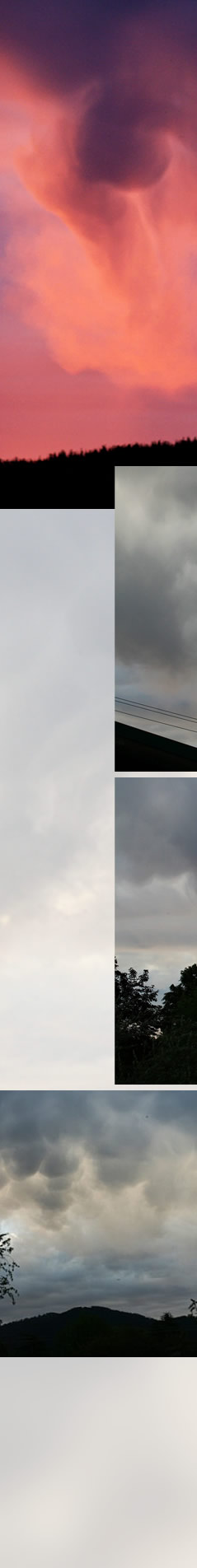
| 'Bursting' Mammatus Cloud imaged by Rob Kaufman (atmospheric optics site) at Bright, Victoria, Australia. �Rob Kaufman, shown with permission. Rob watched the mammatus clouds for 45 minutes as they moved slowly over hills to the west and eventually picked up sunset colours. Some of the mammatus pouches appear to be bursting into shafts of virga, falling rain or ice. Expert Ken Sassen of University of Alaska comments that mammatus are typically somewhat removed from the active parts of a thunder anvil and that this behaviour must be very unusual. Although much photographed, they are much less understood. A common theory is that they result from subsidence of the anvil which gives downdrafts of cold moist air. Another explanation is that ice crystals, snow or water drops fall from the cloud base and begin to sublime (crystals) or evaporate (droplets). The resulting cooling produces the hanging mammatus cloud. These explanations do not account for all sightings or features and there are several other proposed mechanisms for the cloud formation. Of course, there might not in any case be a unique process operating.
|
|
|
|
|

| About - Submit | Optics Picture of the Day | Galleries | Previous | Next | Today |